NCDOT Bonner Bridge Mitigation Project
Manteo, NC | Wave Attentuation
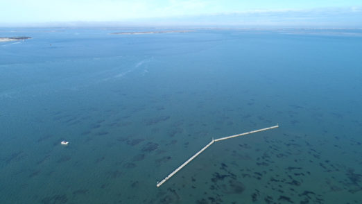
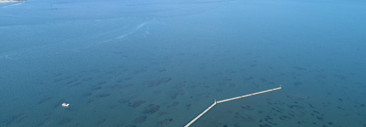
Implementation of the Atlantic Reefmaker structure was completed in January 2017. The goals associated with Atlantic Reefmaker installation were 1) to provide Submerged Aquatic Vegetation (SAV) mitigation for Bonner Bridge replacement and 2) to contribute to the long-term effort to develop the best strategy and methodology for SAV restoration in North Carolina. The objective of this mitigation project was to reduce the amount of wave energy within the project site. By reducing the wave energy for the area, models estimated that there would be a more continuous cover of SAV (specifically for the seagrasses Halodule wrightii and Zostera marina to expand), thereby leading to an increase in seagrass acreage while providing other ecosystem services. These services included water quality improvement, aquatic habitat creation, reduced sediment movement, and plant community establishment. The wave break proposed in this mitigation plan also created new linkages between intertidal and aquatic environments.
The NC Department of Transportation has conducted monthly monitoring of the Atlantic Reefmaker structure since its installation, while it has hired CSA Ocean Sciences to conduct bi-annual monitoring to record changes of SAV behind the structure. The monthly monitoring reports are designed to study the potential for scour around the structure in the dynamic Pamlico Sound estuary, while the bi-annual reports note the health and coalescence of the SAV, wave attenuation, sediment changes around the structure, and sessile life use of the structure.
The Atlantic Reefmaker structure used for Bonner Bridge SAV Mitigation has remained stable and sustained no damage from several storm events which struck the project since its completion in January 2017. Hurricanes Hurricane Maria and Irma that struck off the NC coast that influenced the area of the structure. In 2018, there were several storms that directly affected the structure. These include:
- A nor’easter in March 2018;
- Hurricane Florence affected the area from September 13 to 16, 2018 with several high tide surges being experienced over a 24-36 hour period as the storm languished off the coast of North Carolina and moved inland; and,
- Tropical Storm Michael affected the area on October 12, 2018, bring strong winds and flooding to the area. This storm moved across North Carolina from the south/ southwest to the northeast section of the state.